42km Legendary event
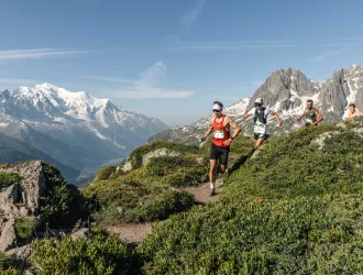

Mont-Blanc 42km
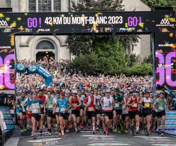
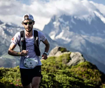
With its 2540m altitude gain, the Mont-Blanc Marathon is the weekend's flagship race and the 4th stage of the Salomon Golden Trail World Series.

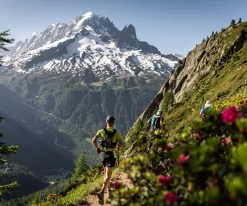
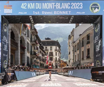
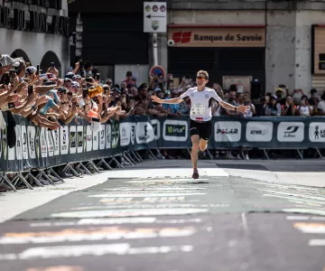
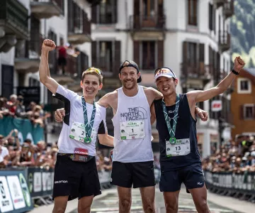
It brings together the best runners in the discipline, who fight a breathless battle in a dream setting! First on the fast, rolling trails of the first part of the race, then on the steep, technical slopes of the aiguillette des Posettes, the main difficulty of the course, to finish facing the incredible panorama of the Mont Blanc range.
To take part in this race, it is recommended that you have good mountain running experience, that your are comfortable on all types of terrain and are self-sufficient for several hours. We draw your attention to the fact that a runner with an UTMB performance index of less than 350 points has very little chance of finish the race, so it is recommended that you take part in another Mont Blanc Marathon event.
Race course
Semi-autonomous TRAIL. Open to 'Espoir' category and above
6 starting waves
2,300 runners maximum
Maximum time: 10 hours
3 full refreshment points
1 finish refreshment point
Bibs pick-up
Bibs pick-up for the 42km race is by appointment only, at Espace EMC2, Place du Mont-Blanc (Chamonix):
Thursday June 27 from 9am to 9pm,
Friday June 28, 9am to 9pm,
Saturday June 29 from 9am to 9pm.
Runners must present an ID card and a race bag containing all compulsory equipment, to enable a timing chip to be fitted and equipment to be checked.
No bibs will be issued to runners without their compulsory equipment and identity papers. No race bibs will be issued on Sunday morning before the start of the race.
Compulsory equipment
- Cell phone.
- Minimum 0.50-liter water supply.
- Waterproof jacket with hood (gore-tex type) adapted to your size.
- Whistle.
- Survival blanket (140cm x 200cm).
- Tumbler.
Recommended equipment
- Cap.
- Tights.
- Gloves.
- Roll of straps.
- Bowl and spoon.
- Some cash.
Time barriers
The time limits given below are for guidance only. In the event of adverse weather conditions, and for safety reasons, the organization reserves the right to stop the event in progress or modify the time limits. All decisions will be taken by the race jury.
A runner arriving at a time barrier after the deadline will be disqualified. The lower right-hand corner of the race number will be "cut out" by the station chief and the runner will be invited to return to Chamonix. Should the runner wish to continue on the course, his or her number will be collected by the station chief and the runner will no longer be considered a participant in the 42km du Mont-Blanc; he or she will therefore no longer be under the responsibility of the organizer. Anyone disrespecting the volunteers responsible for enforcing the time limits will be banned from all Mont Blanc Marathon events.
- Le Tour refreshment point (km 14): start time of last wave + 2.45 hrs.
- Vallorcine refreshment point (km 23.5): start time for last wave + 5.30 hrs.
- La Flégère refreshment point (km 34): start time for last wave + 8.30 hrs.
- Maximum race time - Chamonix finish (km 42): Start time for each wave + 10 hrs.
Maximum race time
Runners crossing the finish line after the maximum race time will not be classified and therefore not considered as finishers. This maximum time is calculated according to the start time of your wave.
42km du Mont-Blanc: maximum race time 10h00
Course description
After setting off from the Place du Triangle de l'Amitié in Chamonix (1035m), you gradually climb up the Chamonix valley, passing through the hamlets of Les Bois and Le Lavancher to reach Argentière (1250m). Runners bypass the village of Argentière and reach Le Planet via the Chemin des Rambles, before continuing along the small northern balcony to the village of Le Tour. From here, the route continues to the Aiguillette des Posettes (2185m) along a path passing through the Chaleyre. The route then descends to the village of Vallorcine via the Col des Posettes (1997m) and the Plan de l'Envers path. From Vallorcine (1260m), you reach the hamlet of Le Buet, then take the Chemin des Diligences to the Col des Montets (1461m) in the heart of the Aiguilles Rouges nature reserve. Facing the Mont-Blanc chain, the path rises to La Flégère (1875m). After a balcony traverse to the combe de la Charlanon, you'll finish with a long descent on a lovely path that takes you back to Chamonix to finish the race on the Place du Triangle de l'Amitié.
